
Lord Baltimore Map
John Ogilby, 1671, London
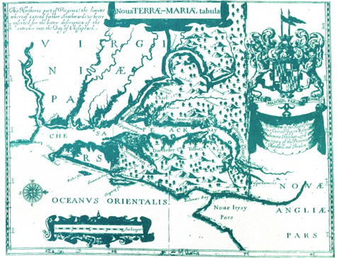
This is the second edition of "Lord Baltimore's Map." The plate appears in John Ogilby's 1671 English edition of Arnold Montanus, De Nieuw en Onbekende Weereld. This map is the most complete and accurate description of Maryland published to that time. This map is not as accurate as the John Smith Map. However, it names 10 Maryland counties, identifies other new places, better defines the major islands in the Chesapeake Bay, including Kent, and moves the northern boundary farther up the Susquehanna.