
Coastal Flooding of Queens Creek
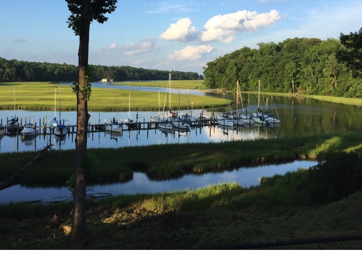
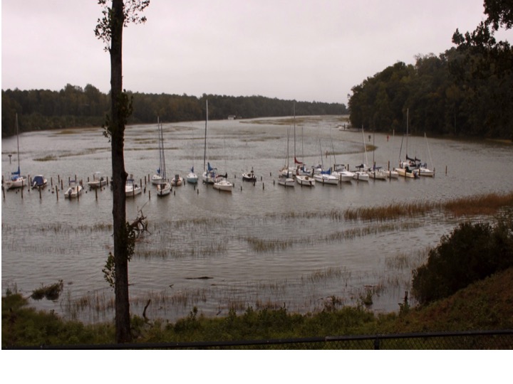
Before and during photos of Queens Creek (a tributary of the York River near Williamsburg, Virginia) show the extent of coastal flooding during the nor'easter affecting the mid-Atlantic. Water levels during the afternoon high tide on October 4, 2015 topped out at 6.01 feet above mean lower low water.